Maplibre Filled Contour
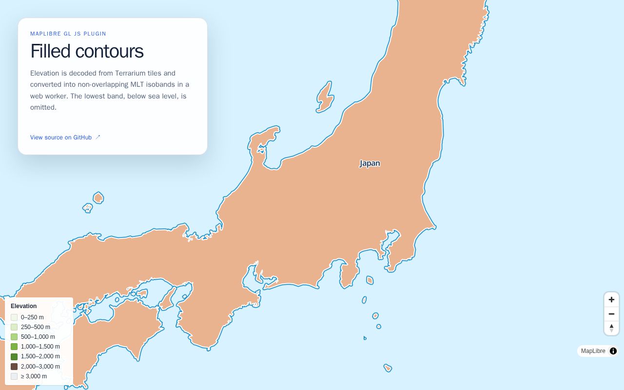
Elevation is decoded from Terrarium tiles and converted into non-overlapping MLT isobands in a web worker. The lowest band, below sea level, is omitted.
Description read from the page itself, because the listing it was
found in gave none.