
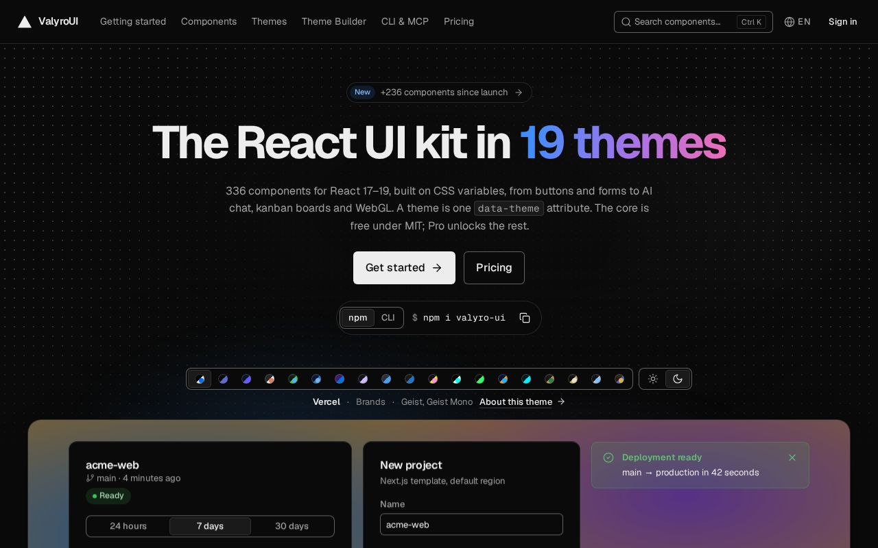
ValyroUI
Free MIT core of ValyroUI: React 17-19 components with CSS-variable themes, and valyro-cli
BitsExplorer finds what people are building with AI, every day. See today's picks →
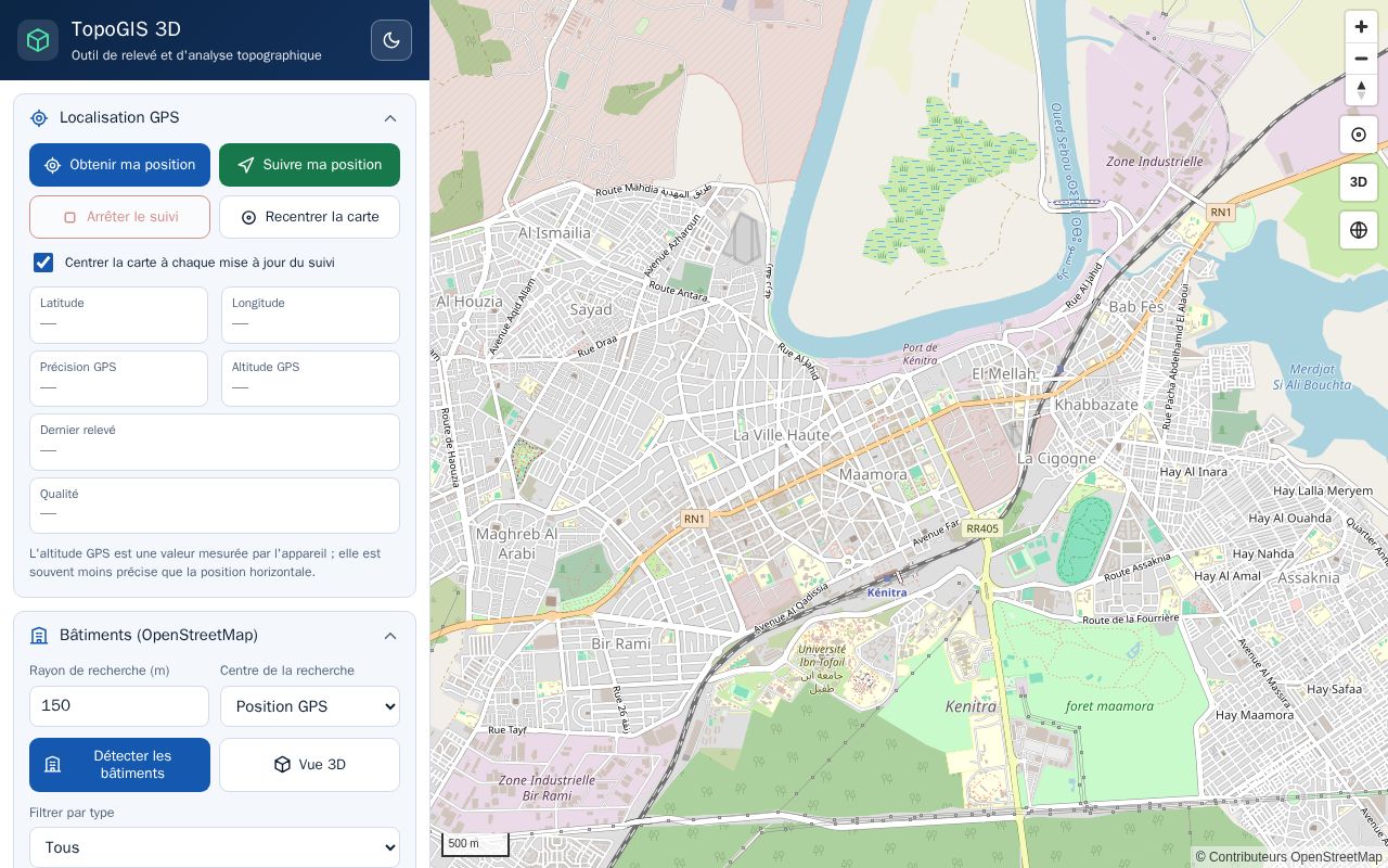
French This item is in French.
Outil de relevé et d'analyse topographique : GPS, bâtiments OpenStreetMap, parcelles, mesures, relief, courbes de niveau et profil altimétrique. L'application tient dans un seul fichier, `index.html`. Aucun serveur, aucune compilation, aucune clé API obligatoire.
Description excerpted from the original listing, which is linked below.
The English version is the original site passed through Google Translate. Nothing is translated or stored here.
Free MIT core of ValyroUI: React 17-19 components with CSS-variable themes, and valyro-cli
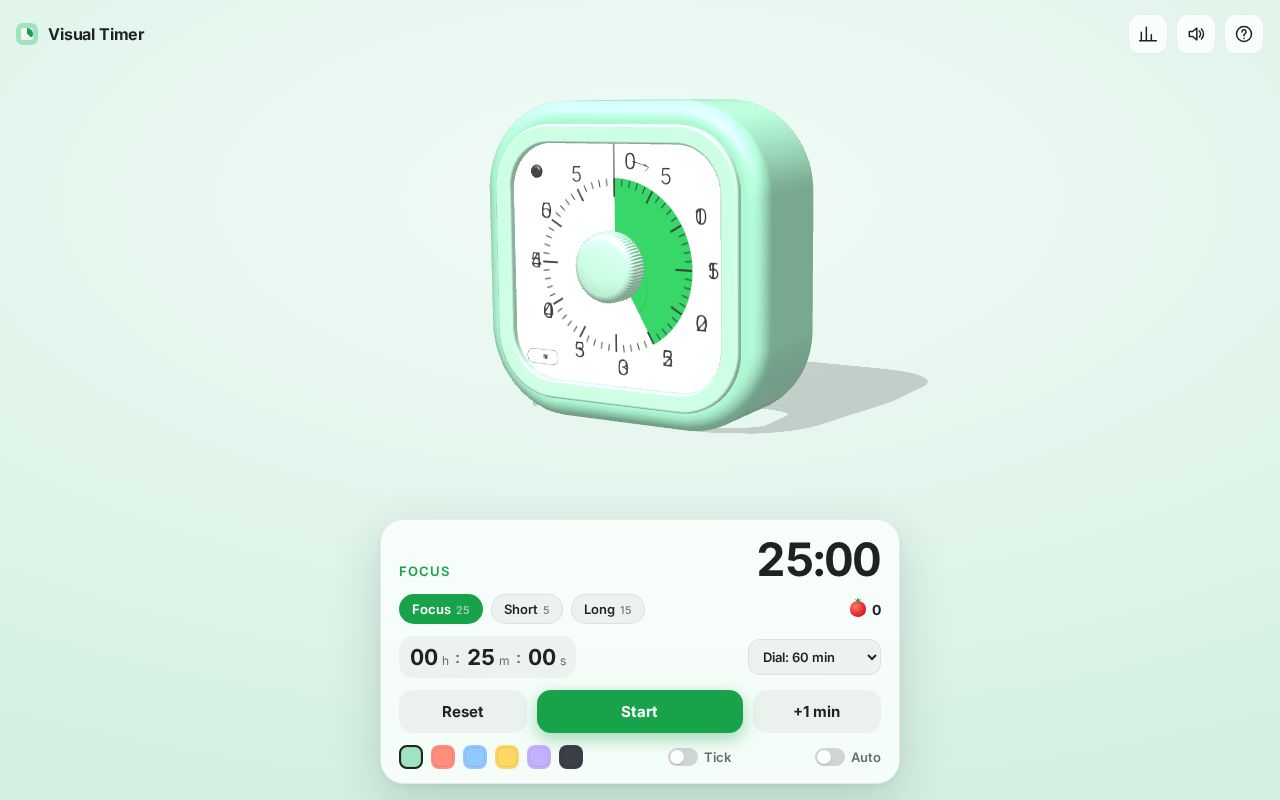
3D visual countdown timer with pomodoro presets
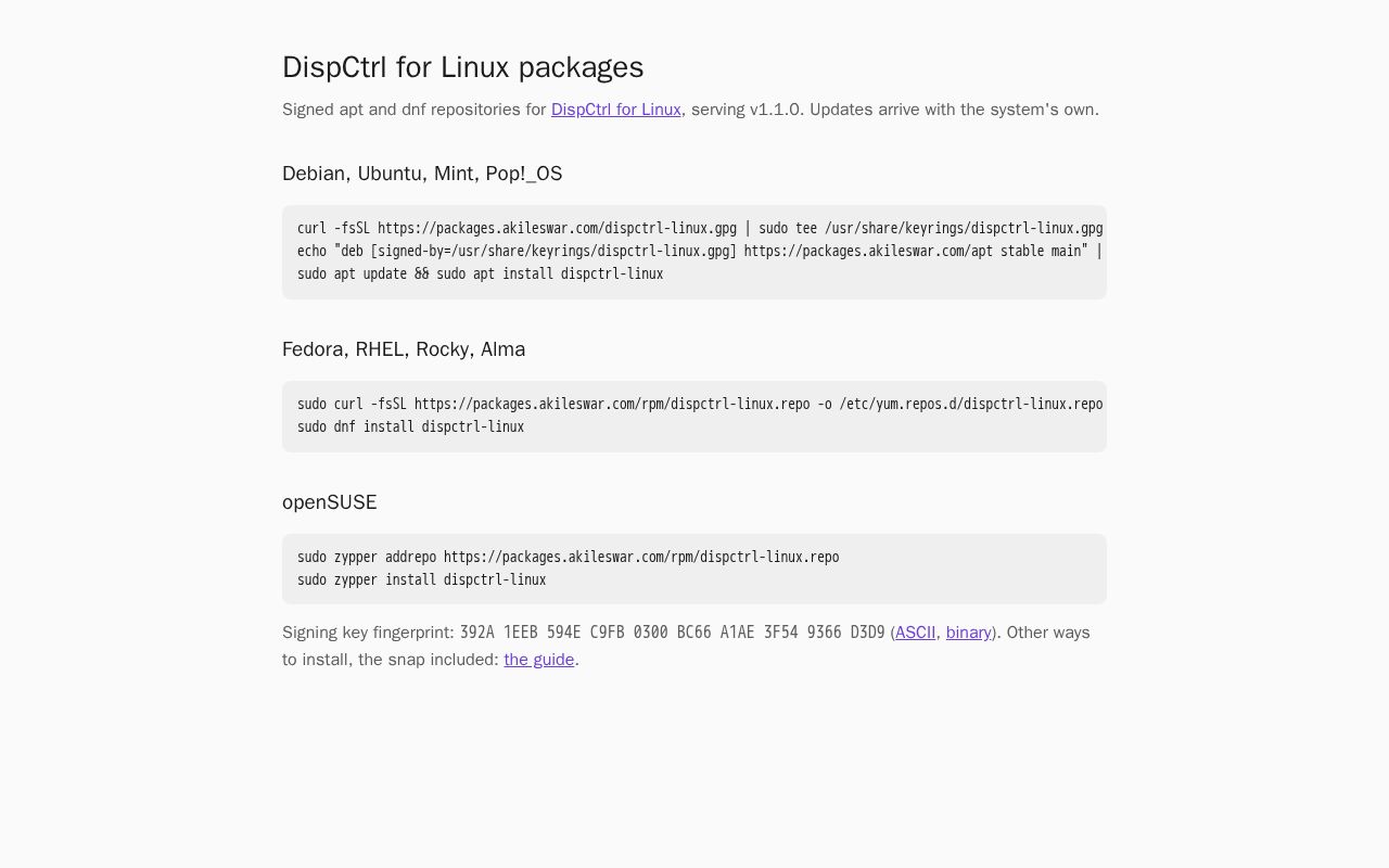
Linux package repositories at packages.akileswar.com

Open-source code of the DeDT project: a blockchain-powered decentralized Digital Twins platform (DAO collaboration, big data flows, IP-NFT fundraising, trustworthy predictive analytics). MSCA Fellowship, Masaryk University.
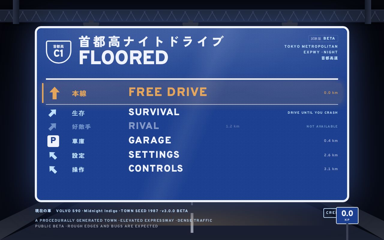
Night driving through a procedurally generated Japanese town and its elevated expressway. Sim-grade tire physics, dense AI traffic, rain, neon.
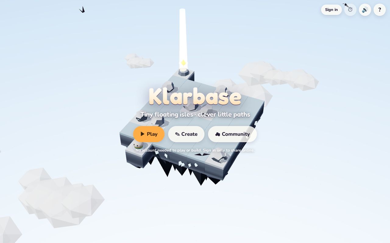
A cozy puzzle game of floating isles. Play 24 hand-made isles, build your own, and share them.
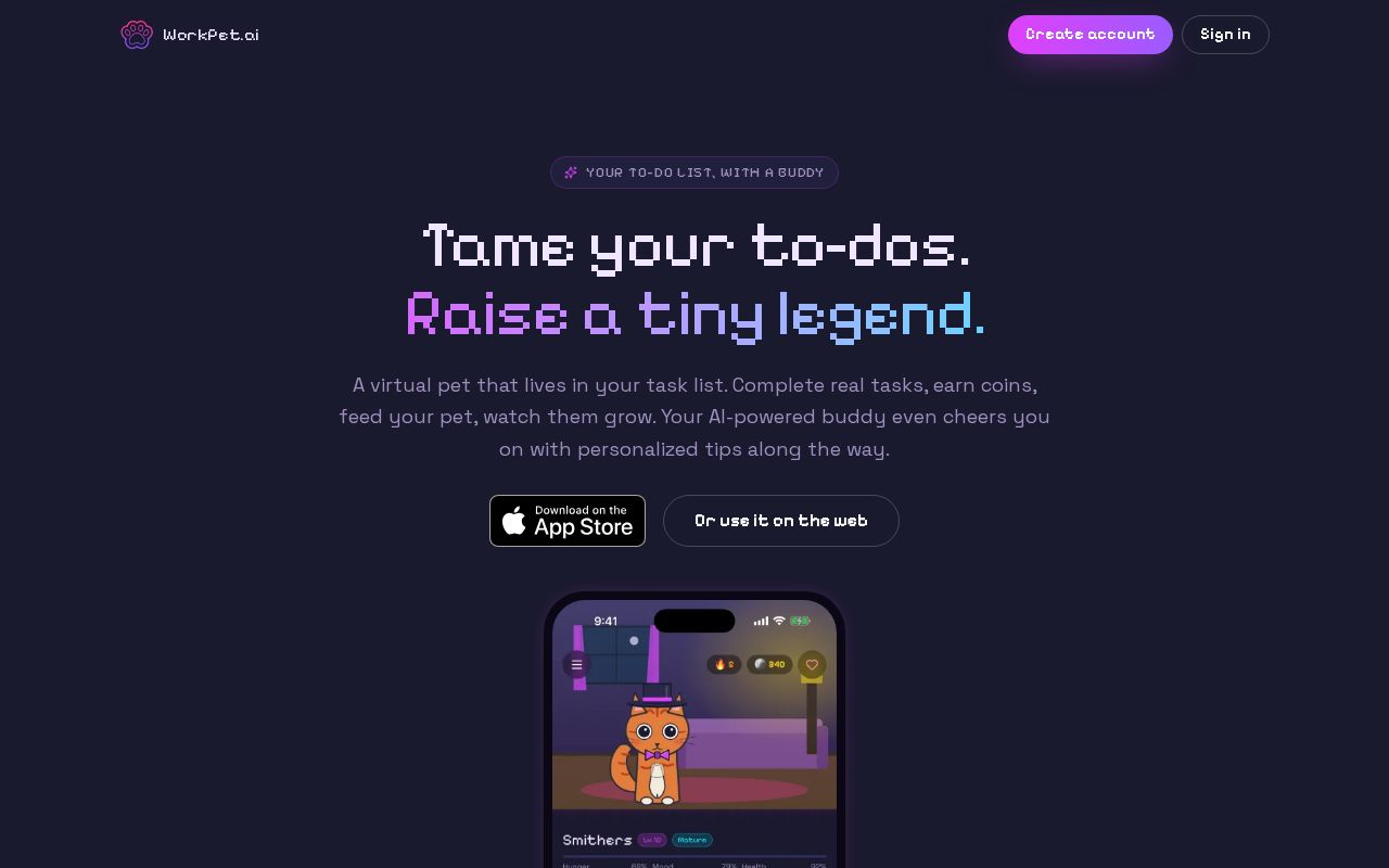
A virtual pet that lives in your task list. Complete real tasks, earn coins, and raise an AI-powered buddy who cheers you on. Free.
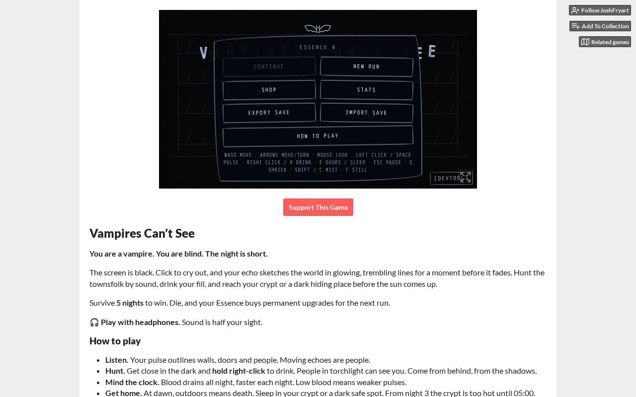
You are a Vampire. You are blind. Echolocate your victims, and survive the night!
Every Monday: how many projects were built with AI that week, which tools built them, where they came from, and the week's picks.
Read the latest week