
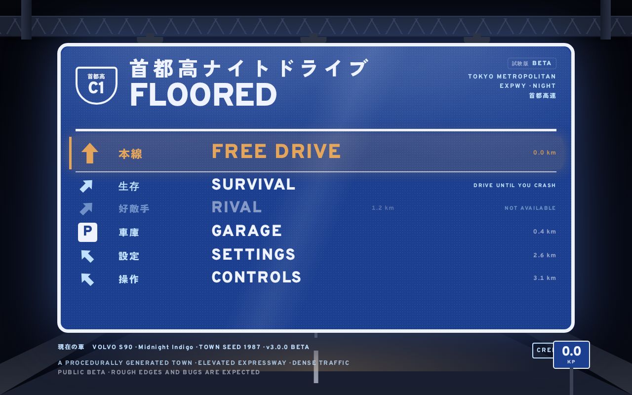
FLOORED (BETA) — 首都高 Night Drive
Night driving through a procedurally generated Japanese town and its elevated expressway. Sim-grade tire physics, dense AI traffic, rain, neon.
BitsExplorer finds what people are building with AI, every day. See today's picks →
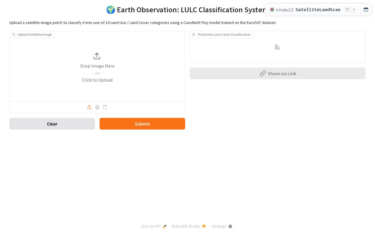
Upload a satellite image patch to classify it into one of 10 Land Use / Land Cover categories using a ConvNeXt-Tiny model trained on the EuroSAT dataset.
Description read from the page itself, because the listing it was found in gave none.
Night driving through a procedurally generated Japanese town and its elevated expressway. Sim-grade tire physics, dense AI traffic, rain, neon.
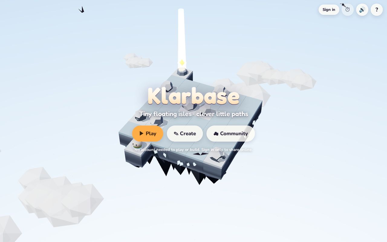
A cozy puzzle game of floating isles. Play 24 hand-made isles, build your own, and share them.

A virtual pet that lives in your task list. Complete real tasks, earn coins, and raise an AI-powered buddy who cheers you on. Free.
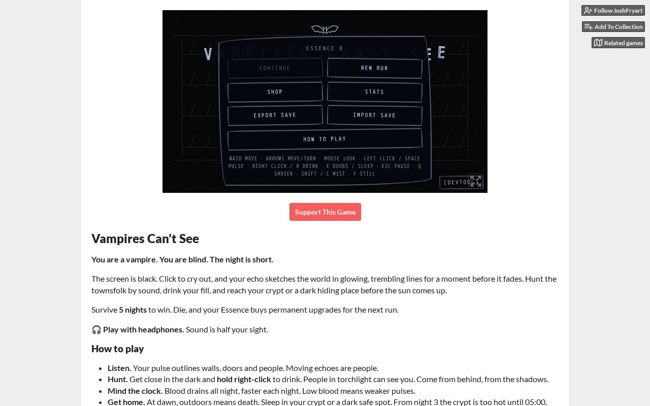
You are a Vampire. You are blind. Echolocate your victims, and survive the night!
Every Monday: how many projects were built with AI that week, which tools built them, where they came from, and the week's picks.
Read the latest week