
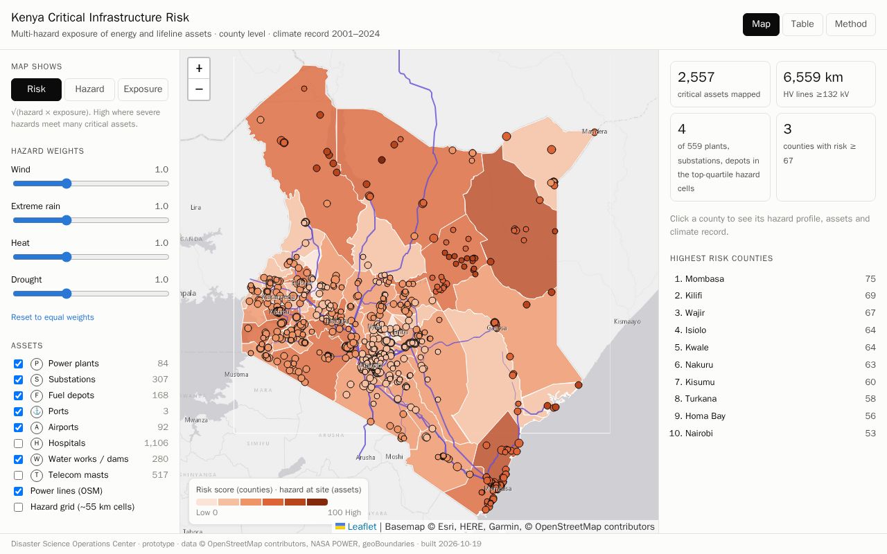
Kenya Infra Risk
Multi-hazard risk map of Kenya's critical energy and lifeline infrastructure (wind, extreme rain, heat, drought) - Disaster Science Operations Center prototype
BitsExplorer finds what people are building with AI, every day. See today's picks →
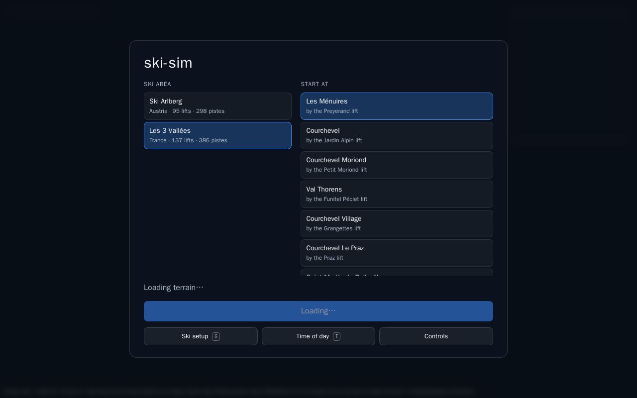
3D simulation of real ski resorts from real geospatial data (lidar terrain, OSM lifts and pistes)
Description excerpted from the original listing, which is linked below.
Multi-hazard risk map of Kenya's critical energy and lifeline infrastructure (wind, extreme rain, heat, drought) - Disaster Science Operations Center prototype
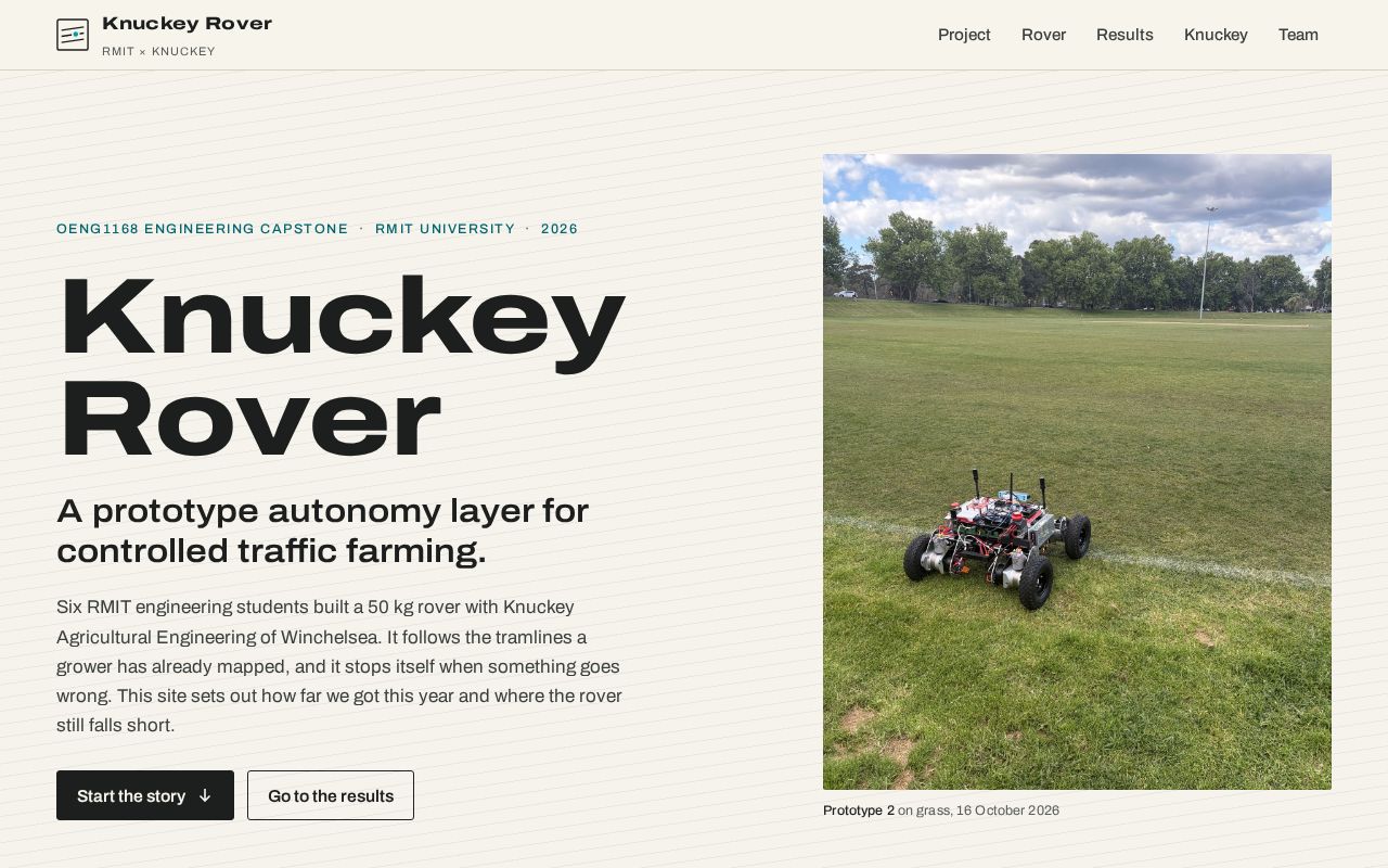
Project website for the Knuckey Rover, an RMIT engineering capstone with Knuckey Agricultural Engineering (2026)

Homepage and privacy policy for a personal Google API client
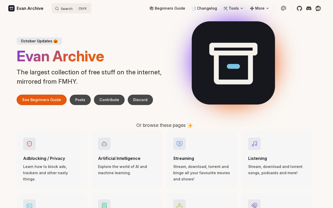
Evan Archive: an automatically updated, rebranded mirror of FMHY (fmhy.net)
Catch glowing creatures in a haunted forest at night, bring them back to your shrine, and let them earn coins for you. The rare ones are way out in the dark past the lanterns, and that’s where the Hollows are too. If one catches you, you drop whatever you’re carrying. You can steal from other…

Create new PS1 games, port games that never reached the console, and rewrite existing games more efficiently. Modern tools for original hardware.

Tell it what you want done. The coding agent you already pay for builds it on a server you own, keeps it running while you're away, and only bothers you when something needs you. Free and open source.

The all-in-one PDF editor: fill forms, sign, write, redact, organise pages and study. Every feature free, no paywalls, no Pro plan. Works in your browser or as an app, offline, no account.
Every Monday: how many projects were built with AI that week, which tools built them, where they came from, and the week's picks.
Read the latest week