
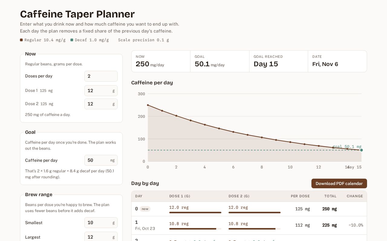
Caffeine Taper Planner
Plan a gradual caffeine taper with regular and decaf coffee beans
BitsExplorer finds what people are building with AI, every day. See today's picks →
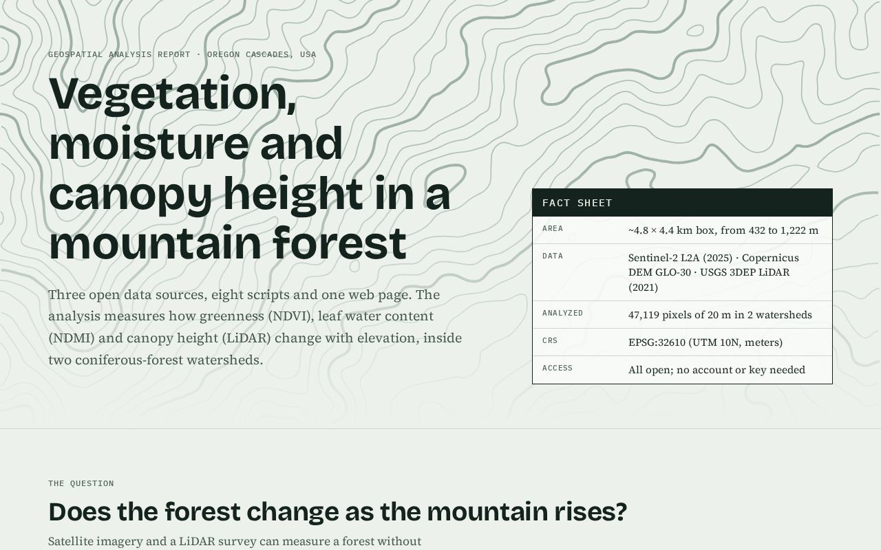
Vegetation, leaf moisture and canopy height in an Oregon Cascades forest watershed, using only open tools and public data (Sentinel-2, LiDAR, Copernicus DEM).
Description excerpted from the original listing, which is linked below.
Plan a gradual caffeine taper with regular and decaf coffee beans

go.omada.ai VSL funnel (Meta-tracked landing + booking pages)

📐 Datum, the design system of Rafael Fachinelli: W3C design tokens, seasonal themes and accessible React components (Tailwind 4, Radix, shadcn/ui).

Public pages (home, privacy policy, terms) for a private single-user tool

A fast old-school arcade shooter: 400 levels, power-ups, drone swarms and online high scores.

Design game menus and HUDs once, then run them natively in Godot 4 and the browser.
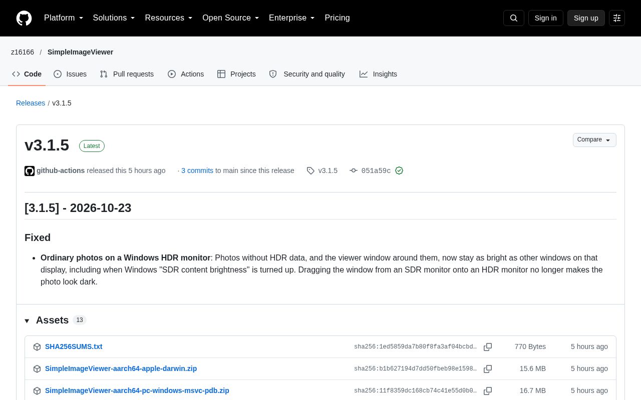
A very fast image viewer, GPU-accelerated, with HDR rendering and background music playing, built using Rust and egui, cross-platform.
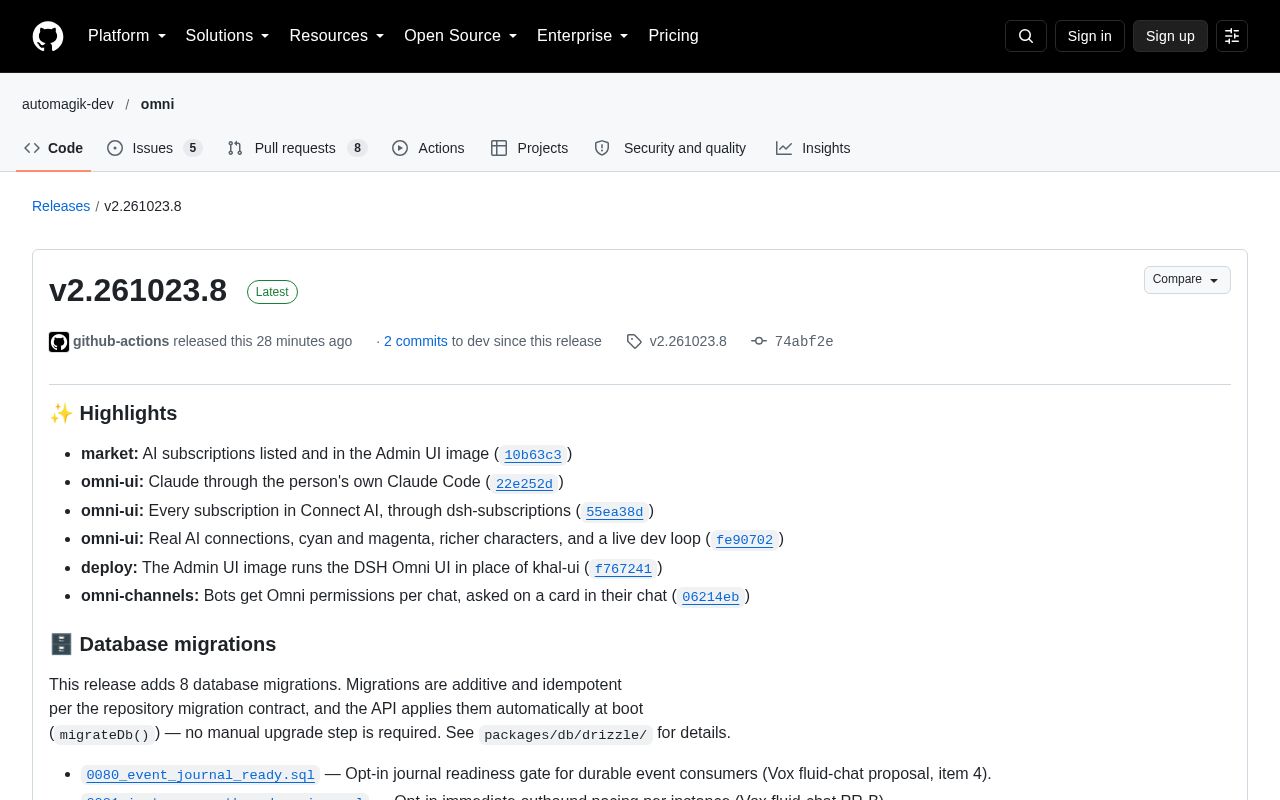
Universal event-driven omnichannel platform for AI agents to communicate across any messaging platform
Every Monday: how many projects were built with AI that week, which tools built them, where they came from, and the week's picks.
Read the latest week