
Gemma — Google DeepMind
A local tool that reads Panamanian receipt photos with Gemma and produces a CSV with the ITBMS sales tax, where the model transcribes and the code calculates.
BitsExplorer finds what people are building with AI, every day. See today's picks →
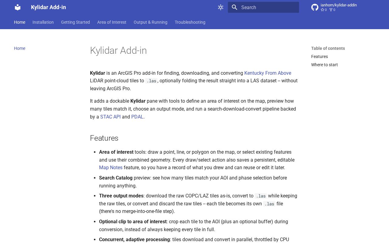
Kylidar is an ArcGIS Pro add-in for finding, downloading, and converting Kentucky From Above LiDAR point-cloud tiles to . las, optionally folding the result straight into a LAS dataset -- without leaving ArcGIS Pro.
Description read from the page itself, because the listing it was found in gave none.
A local tool that reads Panamanian receipt photos with Gemma and produces a CSV with the ITBMS sales tax, where the model transcribes and the code calculates.
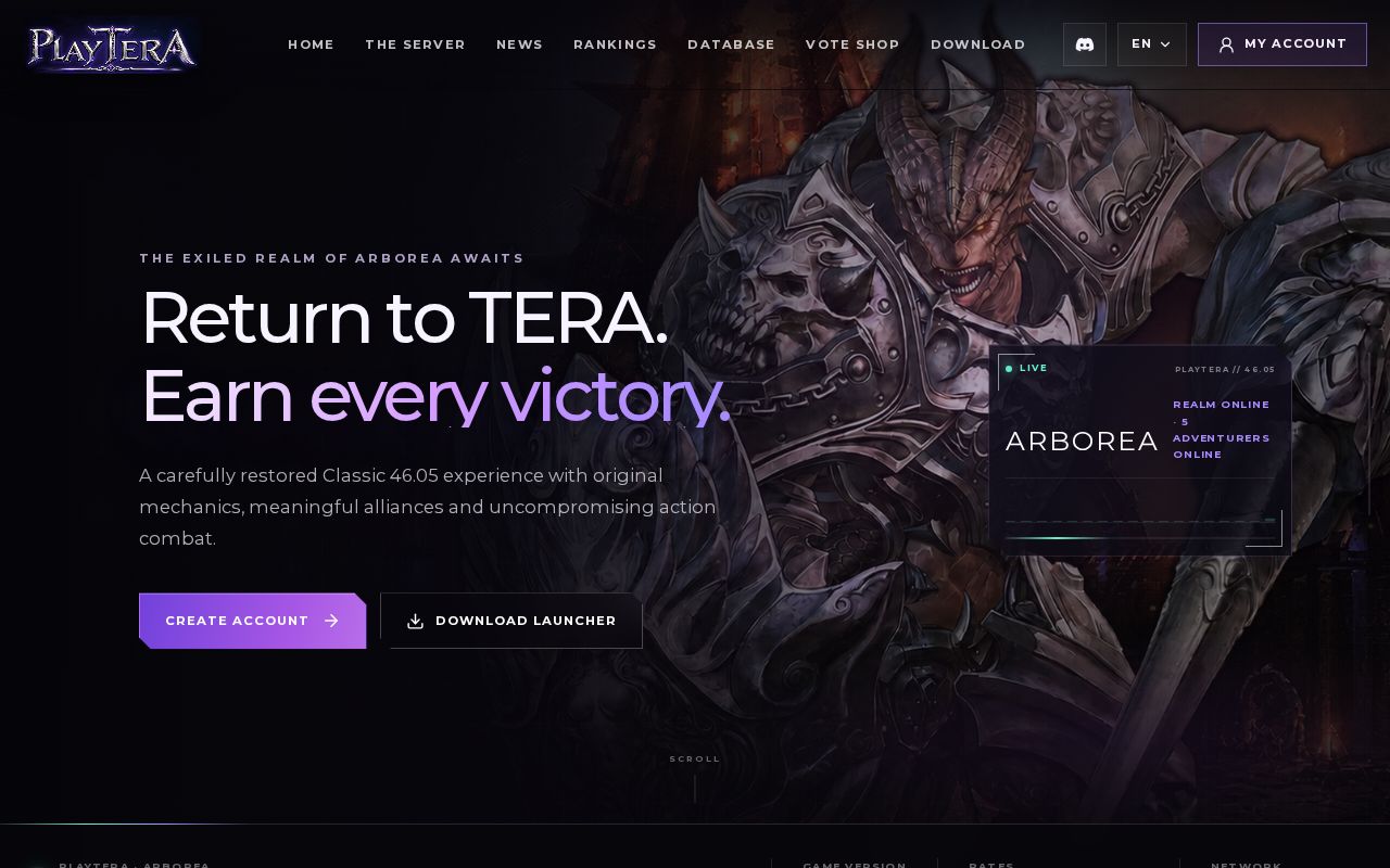
TERA Toolbox modules for PlayTera (client 46.05)
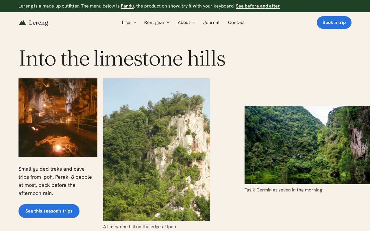
Accessible, framework-free site navigation: disclosure dropdowns, mega-menu and mobile drawer. 7 KB gzipped.
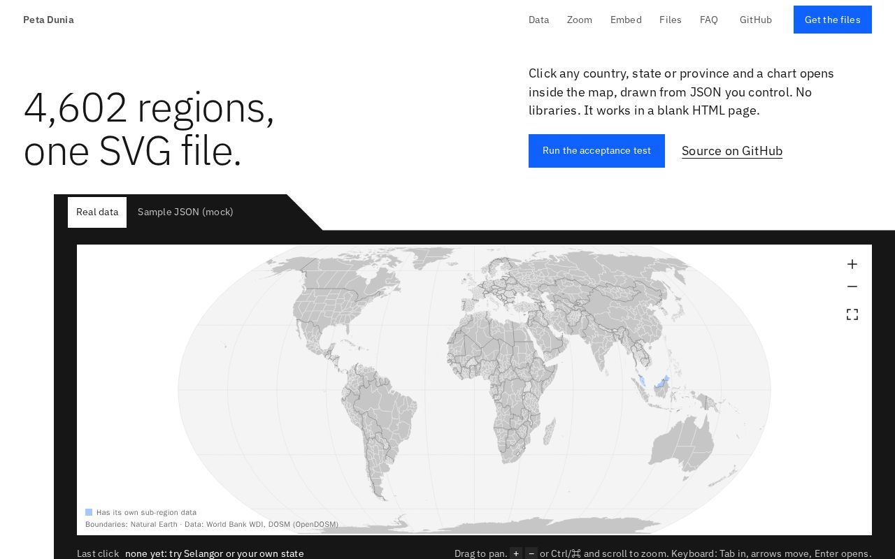
One self-contained SVG world map of every country and its 4,602 states and provinces; click any region for an in-SVG chart drawn from JSON. No dependencies.
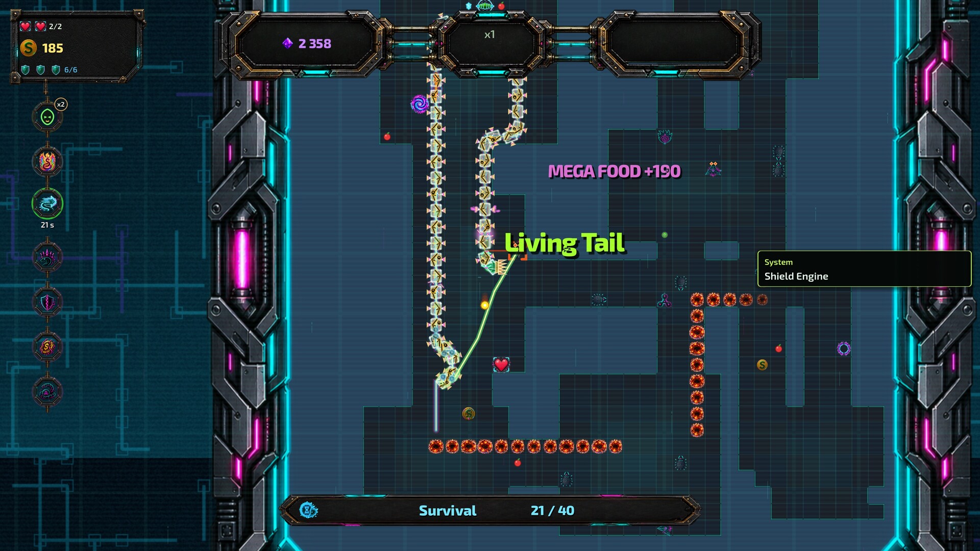
There is no tutorial. And there won't be. I believe in you. I couldn't escape the Grid. Maybe you can. You are snake who eats apples. j/k You want to escape the grid loop. BUT the LOOP wants to keep You in.
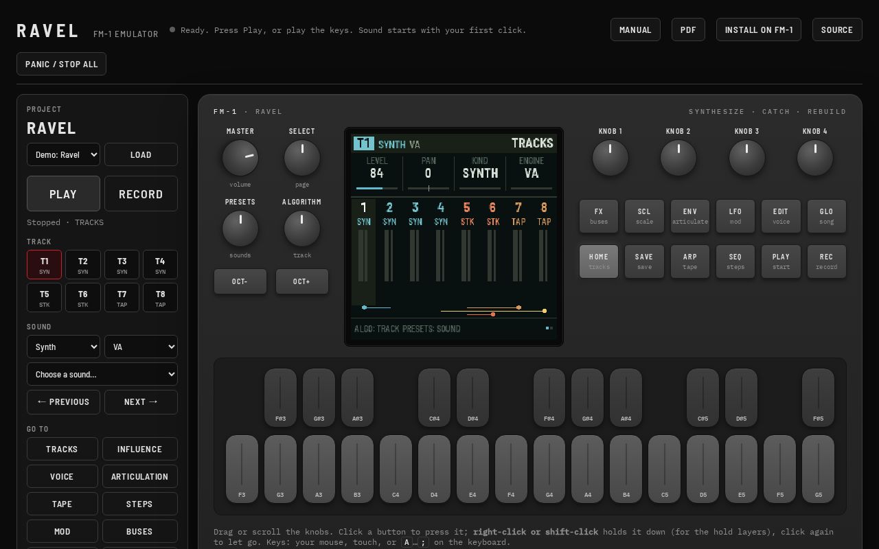
Ravel is a custom firmware for the M-VAVE FM-1. It turns the FM-1 into a pocket groovebox for sound design. It has 8 tracks that synthesize, catch what they play onto a shared tape, and cut it up and rebuild it, and the tracks can play, excite and reshape each other.

Interactive class website for Digital Platforms Test Drive (MSc Marketing Management and Digital, ESSEC Asia-Pacific). Each tab covers one session or guest speaker, from LaunchLab vibe coding to TikTok, Meta and Google, with a mini-game or quiz to review the key ideas. Updated weekly throughout the…
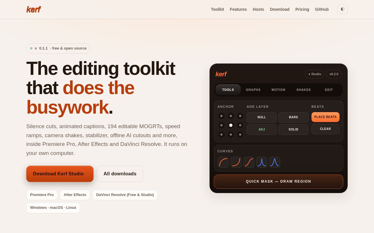
Free, open-source AI editing toolkit for Premiere Pro, After Effects and DaVinci Resolve on Windows, macOS and Linux: silence cuts, captions, 194 editable MOGRTs, speed ramps, camera shake, stabilizer, offline AI cutouts
Every Monday: how many projects were built with AI that week, which tools built them, where they came from, and the week's picks.
Read the latest week